Sin gastos de envío en España
Ningún producto
Producto añadido correctamente a su carrito de la compra
Hay 0 artículos en su carrito. Hay 1 artículo en su carrito.
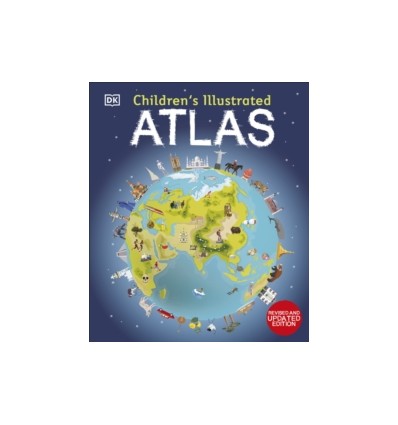
Children's Illustrated Atlas
9780241598283
Nuevo
Set off on a thrilling journey around the world in this incredible atlas for kids - packed full of beautiful illustrations and photographs. Discover the world map-by-map with this exciting world atlas book for children, featuring more than 50 maps! Each page is filled with fascinating information, facts and colourful illustrations of our world.
Set off on a thrilling journey around the world in this incredible atlas for kids - packed full of beautiful illustrations and photographs. Discover the world map-by-map with this exciting world atlas book for children, featuring more than 50 maps! Each page is filled with fascinating information, facts and colourful illustrations of our world. Children aged 7-9 will love to learn all about the many countries, cultures, people and animals of the world through vibrant maps.
Each map is bursting with information, combining colourful icons with photographs representing key points about each country. The atlas also includes a world map poster, with a political map for each continent - and children are shown how to read a map and use a key, compass, and scale!Inside the pages of this atlas book for children, you'll find:- Information that supports the curriculum, with colourful icons and photographs that show people and places, animals, food, historical sites, industry, and habitats. - More than 50 specially commissioned maps of the world featuring countries and continents in full-colour detail.
| Editorial | DK |
| Páginas | 128 |
| Formato | Hardback |


